Cirrocumulus
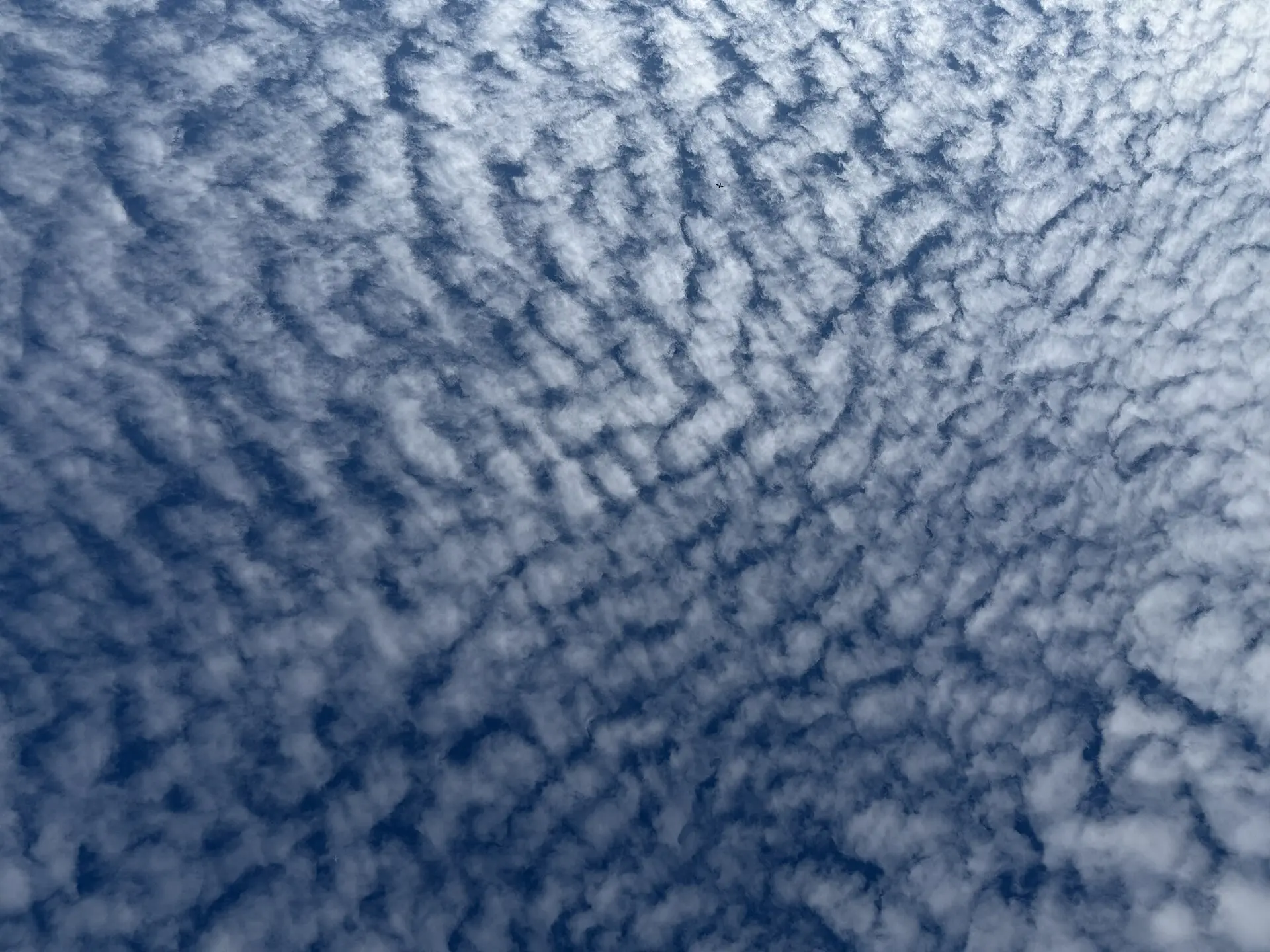
Cirrocumulus is a high sheet of very small white grains or ripples, arranged in regular rows like the scales of a fish. It is the rarest and shortest-lived of the high clouds, and the only one that shows any granular structure.
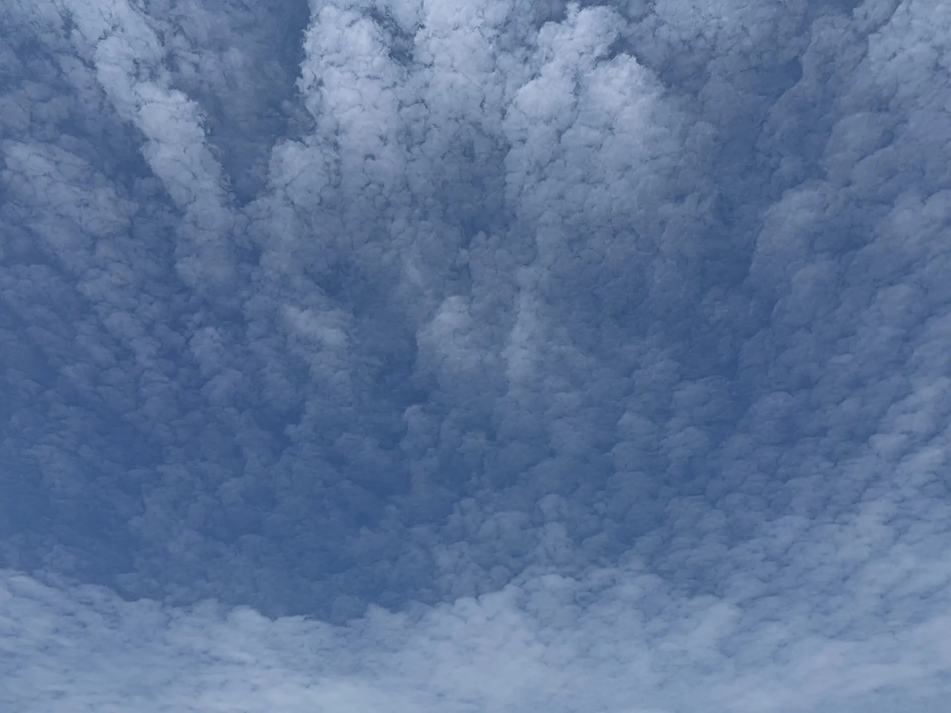
Photo: Famartin / CC BY-SA 4.0 · Wikimedia Commons
- Typical altitude
- 6,000–12,000 m (20,000–40,000 ft)
- WMO abbreviation
- Cc
- Altitude band
- High clouds
- Also called
- mackerel sky
How to recognise it
- A thin patch or layer made of tiny grains, ripples or granules, usually arranged in regular rows.
- Each individual element is very small — under one degree wide, roughly the width of your little finger held at arm's length.
- Entirely white with no grey shading whatsoever. This is the single most reliable way to separate it from altocumulus.
- The rippled pattern across a wide area is what gives the "mackerel sky" its name.
What weather it signals
- Cirrocumulus itself brings no precipitation. It is a sign of instability in the high atmosphere.
- It is usually short-lived, forming from cirrus or cirrostratus and dissolving back into them within minutes to hours.
- In temperate latitudes a mackerel sky often accompanies an approaching front and a change in the weather. In the tropics it can indicate an approaching tropical cyclone.
How to photograph it
- Use the longest focal length you have. The elements are small, and a wide shot reduces the whole pattern to noise.
- Photograph it quickly — cirrocumulus frequently dissolves within a quarter of an hour.
- Include a fixed reference such as a rooftop or tree line so the scale of the ripples is readable.
Fun facts
- Cirrocumulus is the rarest of the ten cloud genera and almost never covers the whole sky on its own.
- The old sailors' rhyme "mackerel sky, mackerel sky — never long wet, never long dry" refers to this cloud and its association with changeable weather.
- Although the cloud is made of ice crystals, the ripples form because supercooled water droplets are freezing — which is why the pattern collapses so quickly.
Easily confused with


Frequently asked questions
How do I tell cirrocumulus from altocumulus?
Hold your little finger up at arm's length. If an individual cloud element is narrower than your finger, it is cirrocumulus; if it is wider, it is altocumulus. The second test is shading: cirrocumulus is pure white throughout, while altocumulus almost always shows grey on the underside of each element.
What does a mackerel sky mean?
It indicates instability high in the atmosphere and, in temperate latitudes, often precedes a front and a change of weather within the next day. It is not a reliable rain forecast on its own — watch whether the sky continues to thicken.
Why is cirrocumulus so rare?
It only exists in the transition between cirrus and cirrostratus, when supercooled droplets are actively freezing into ice. Once that process finishes, the granular structure disappears and the cloud becomes ordinary cirrus or cirrostratus.
Not sure what you are looking at?
Point your iPhone at the sky and let Cloud ID name it for you — with three ranked candidates and the reasoning behind each one.
Download on the App Store