Cumulonimbus
Cumulonimbus is a vast, dense tower that reaches from a low base to the top of the troposphere, usually crowned with a flattened anvil of ice. It is the only cloud that produces lightning, and the source of hail, downbursts and tornadoes.
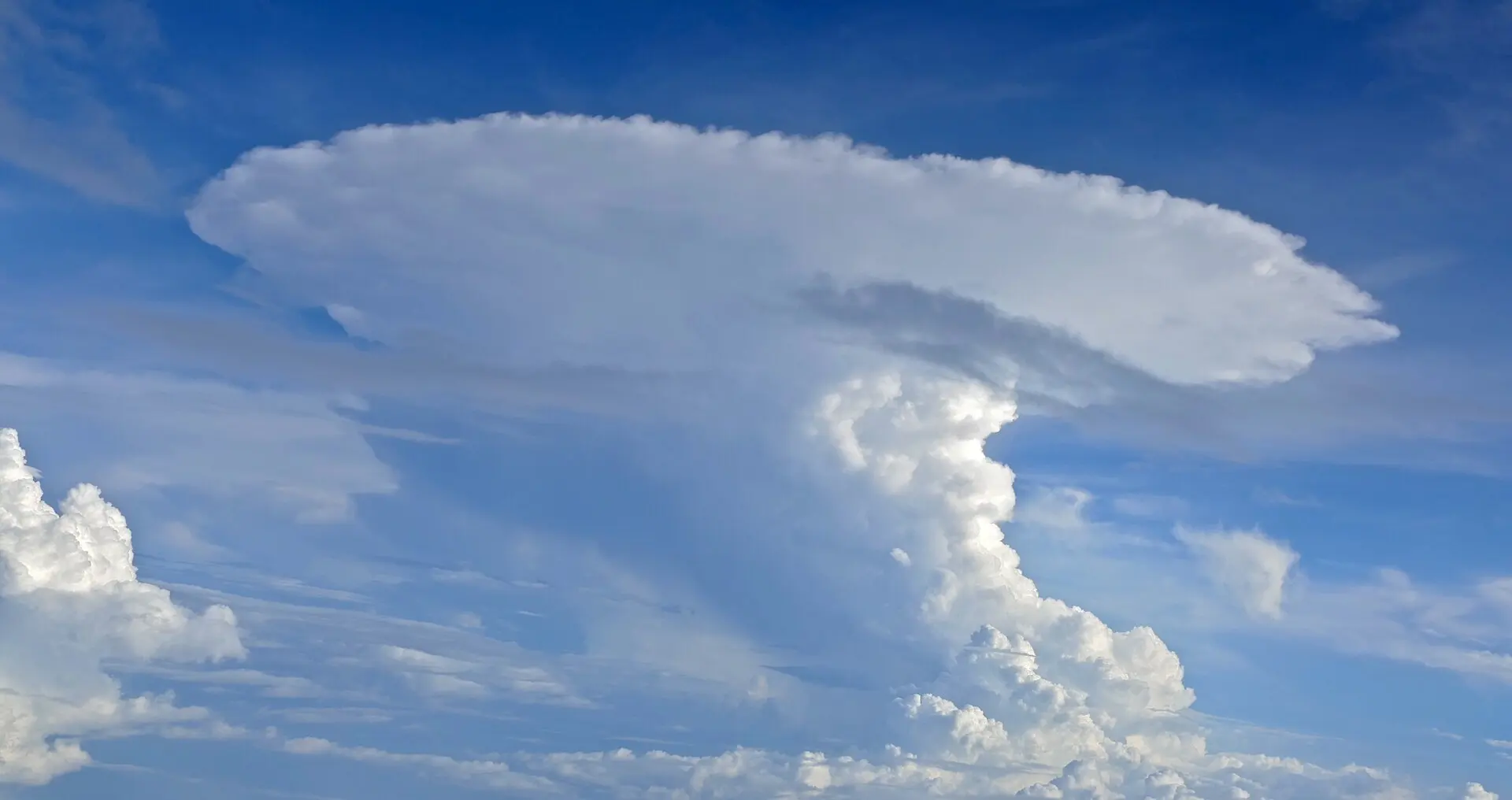
Photo: Bernard DUPONT from FRANCE / CC BY-SA 2.0 · Wikimedia Commons
- Typical altitude
- Base 600–2,000 m, tops commonly 12,000 m and above
- WMO abbreviation
- Cb
- Altitude band
- Clouds with vertical development
- Also called
- thunderstorm cloud
How to recognise it
- An enormous tower, far taller than it is wide, often visible in full from many kilometres away.
- A flat, spreading anvil at the top (incus), blown downwind where the cloud hits the stable stratosphere and can rise no further.
- A fibrous, soft-edged upper section — the ice crystals up there have lost the crisp cauliflower outline of cumulus.
- A dark, often ragged base with visible rain shafts, and sometimes a lowered wall of cloud beneath it.
What weather it signals
- Heavy showers, thunder and lightning. Cumulonimbus is the only cloud genus that produces lightning at all.
- Hail, sudden violent wind gusts and downbursts are possible, and the most severe examples produce tornadoes.
- The weather is intense but short-lived in any one place — a single storm cell usually passes within 20 to 60 minutes.
How to photograph it
- Photograph it from a distance. Under the cloud you see only grey; the anvil and tower structure is only readable from several kilometres away.
- Use a wide angle and include a low horizon — the point of the picture is the sheer vertical extent.
- Late-day sun striking the tower from the side gives the most dramatic contrast against a dark sky.
- Do not stay outdoors to get the shot. If you can hear thunder, you are within range of a strike.
Fun facts
- A large cumulonimbus can release energy comparable to a substantial nuclear weapon over its lifetime, almost all of it as latent heat from condensing water.
- The flat anvil forms because the tower hits the tropopause — a stable layer the rising air cannot penetrate — and is forced to spread sideways instead.
- The strongest storms punch a small dome above the anvil called an overshooting top, a sign of a violently strong updraught.
Easily confused with
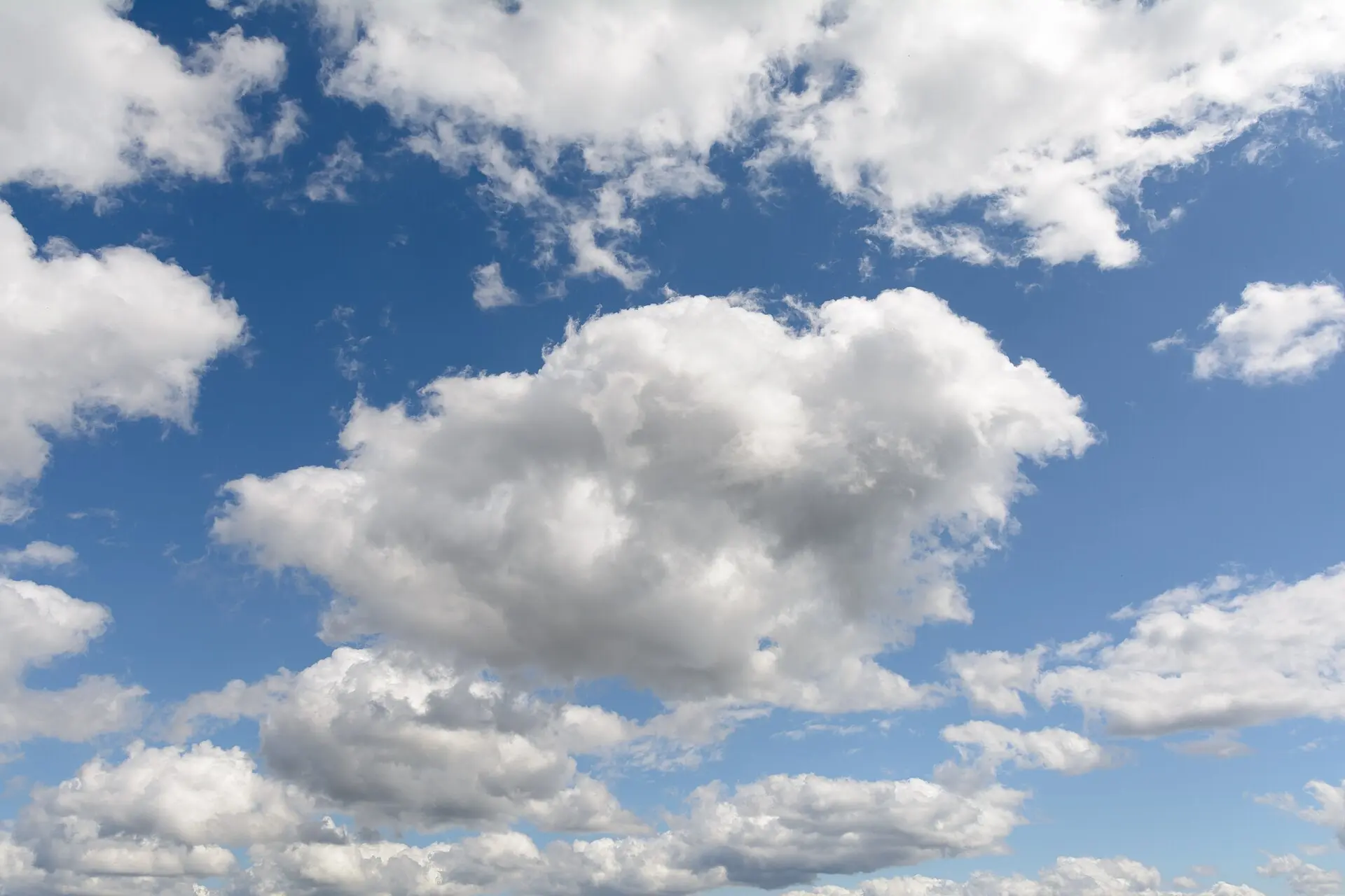
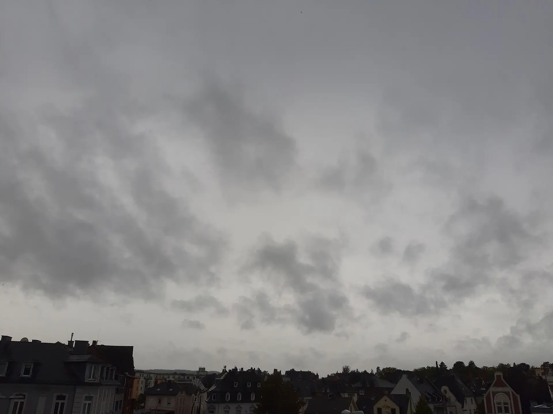
.jpg)
Frequently asked questions
How do I tell cumulonimbus from cumulus?
Look at the top. A cumulus has a crisp, sharply outlined cauliflower top. A cumulonimbus top has glaciated into ice crystals: it looks fibrous, soft-edged, and usually spreads sideways into a flat anvil. Cumulonimbus is also far taller and much darker underneath.
Does every cumulonimbus produce lightning?
Not every one, but it is the only cloud genus that can. If you hear thunder, a cumulonimbus is responsible. Some produce only heavy showers and strong gusts without electrical activity.
How high do cumulonimbus clouds reach?
Commonly to 12,000 metres in temperate latitudes, and in the tropics they can exceed 18,000 metres — well above airliner cruising altitude, which is why aircraft route around them rather than over them.
Not sure what you are looking at?
Point your iPhone at the sky and let Cloud ID name it for you — with three ranked candidates and the reasoning behind each one.
Download on the App Store